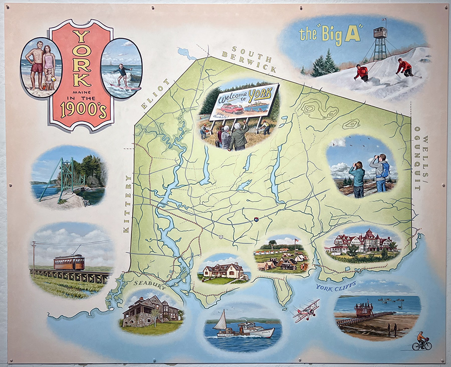
A Note About the Four Maps of York
At the turn of the twentieth century, York became fully involved in the tourist trade. The beautiful beaches and Colonial echoes drew visitors from New York, Philadelphia, Chicago, and other cities. York became a community of both old and new families, causing controversy but eventually reuniting. Many York men were called to war. Families came as tourists and stayed in the grand hotels, while others built summer homes along the ocean. People became increasingly aware of ecology and the beautification of rural landscapes. The automobile soon replaced trains and trolleys, and the new interstate highway system allowed for mobility like never before. By the 1970s, the York Harbor and York Beach corporations had ceased to be active, and by the early 1990s, the town had formulated a charter government—unquestionably, the creation of York’s political structure was the decisive event of the later twentieth century. Contributed by York town historian James Kences and Kevin Freeman