17th Century | 18th Century | 19th Century | 20th Century
For thousands of years the Abenaki, through hunting, fishing, farming and trading undoubtedly knew the geography of this area well. Did they make maps of it? We may never know. Assumedly, they passed along their extensive knowledge through their oral tradition.
But by the time the English arrived here in the 1600's, there weren't many Native Americans left, most having succumbed to the diseases previous explorers brought along to the New World. The Native American farms along the river were barren, and the colonists were essentially free to develop the land and waterways as they saw fit. These men came from a map making tradition. One premise of my four map panels is to illustrate how the map maker's knowledge of the area grew over time.
Captain John Smith was one of the first to roughly map the coast of what was to become New England. In 1796, Daniel Sewell provided us with one of the earliest surveys of the York area. For my map of the 1600's, I merged the two: Sewell's limited knowledge of the geography and waterways, his more extensive knowledge of early roads, pathways, mills and habitations with Captain Smith's lettering and graphic stylings.
My 1700's map is based almost entirely on Sewell's survey and lettering style. Incorporated are the rough boundaries of the Stated and Outer Commons and a few waterways from the 1956 survey.
The 1800's map and its lettering are based on the U.S. Geological survey of 1898. Many more waterways and land features were known by then, but there are still inaccuracies in their rendering. A large slice of land to the west has been ceded to South Berwick.
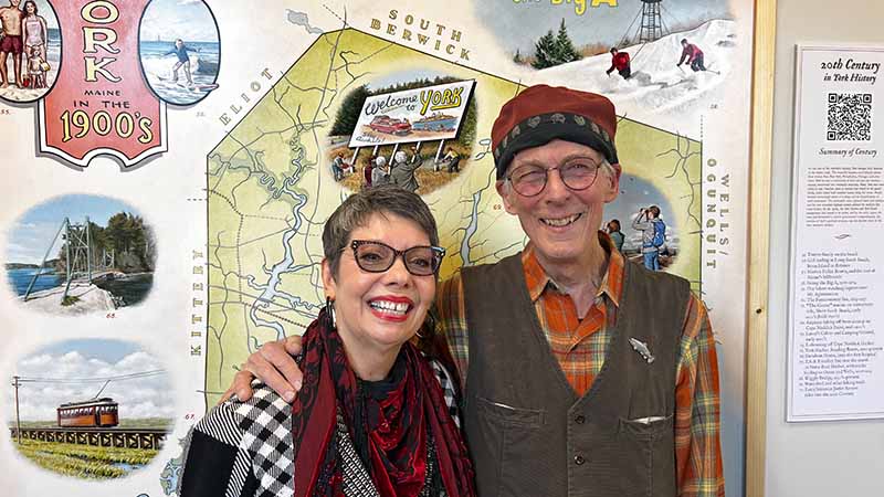
The U.S. Geological survey of 1956 provided the basis for my 1900's map. New, man-made water features now appear (Bolter, Middle and Folly Ponds and the Belle Marsh reservoir), and Brave Boat Harbor is much more defined. York is now bordered by Kittery, Eliot, South Berwick and Wells/Ogunquit.
I'd like thank Luke Vigue of York Town Hall for providing me with enlarged print outs of the maps I worked with.
Gordon Carlisle, Mural Artist