York History Partners was created to pull people from York, who are hoping to build community in regard to Native issues and Slavery and its effects in York and regionally. Several people from York and the surrounding area were approached by Atlantic Black Box, a Portland, Maine, non-profit, to join them in creating an event in York, Maine, that reckons with injustice.
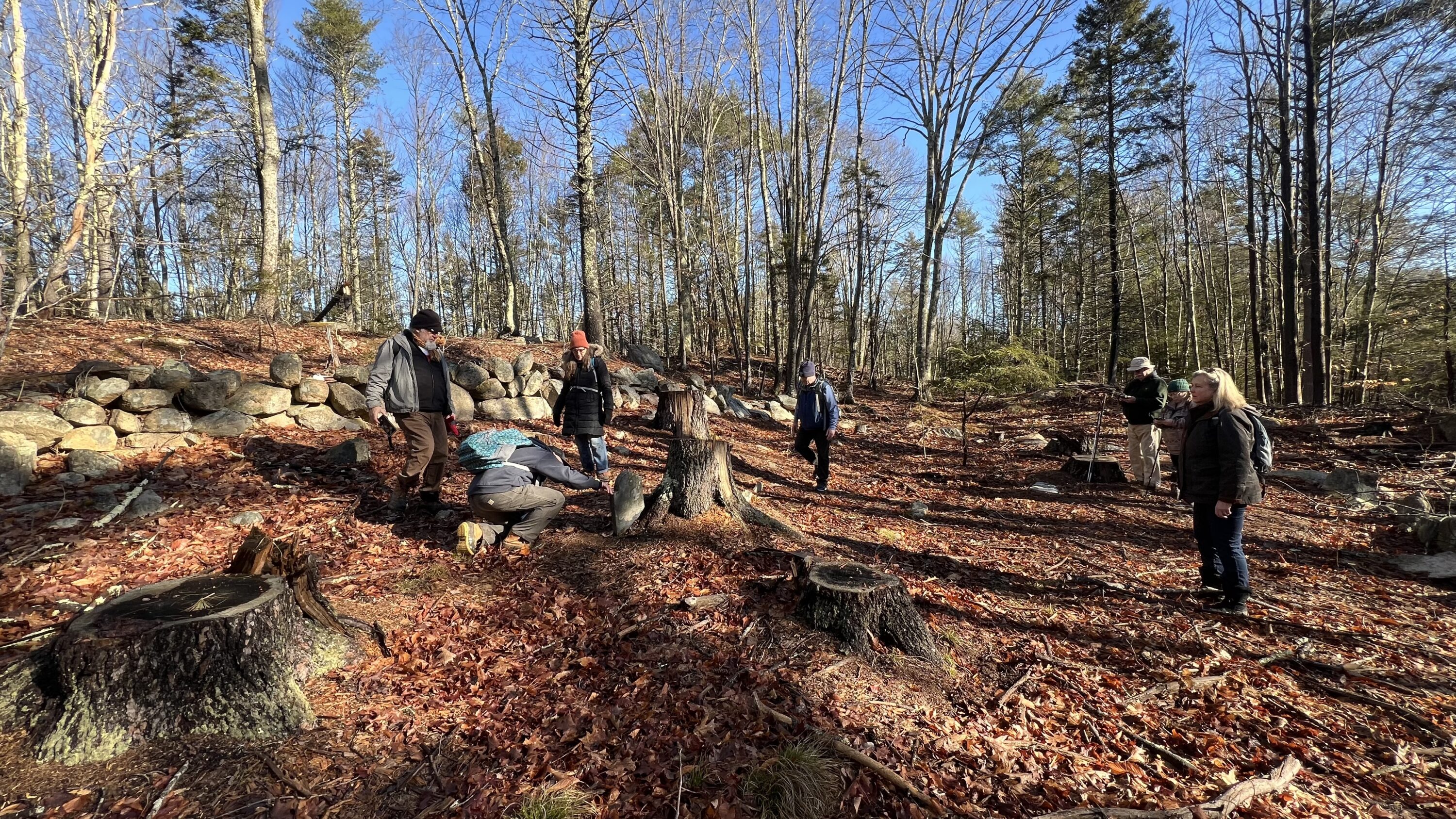
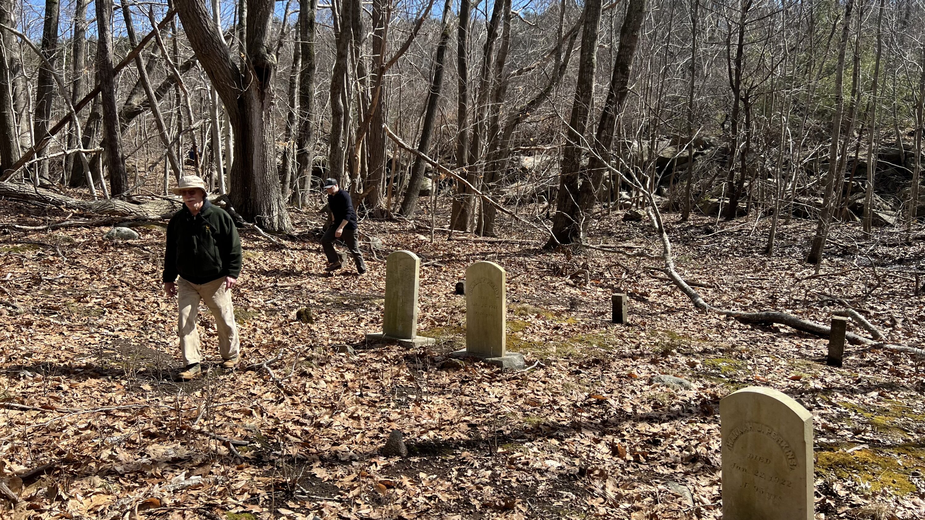
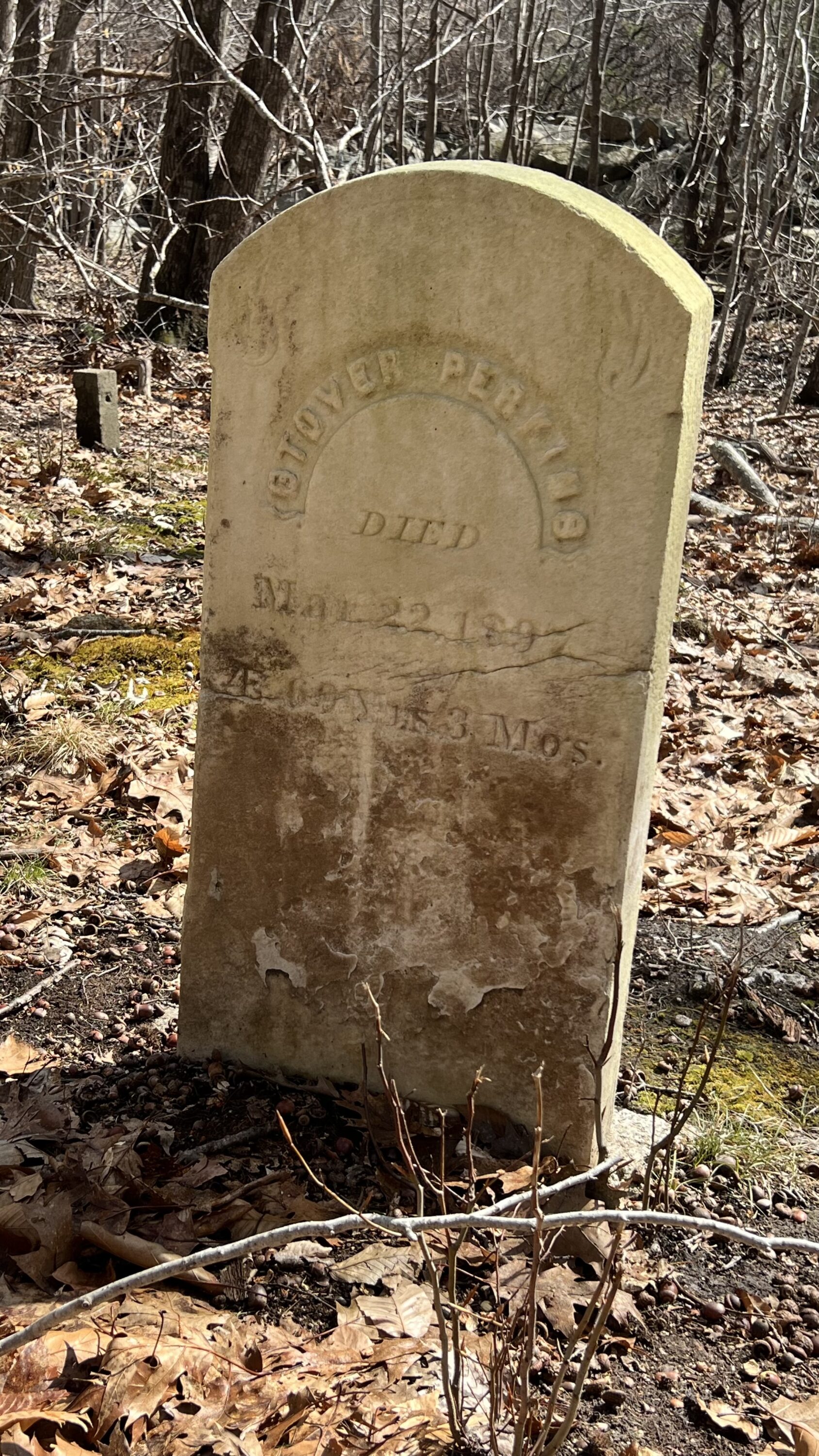
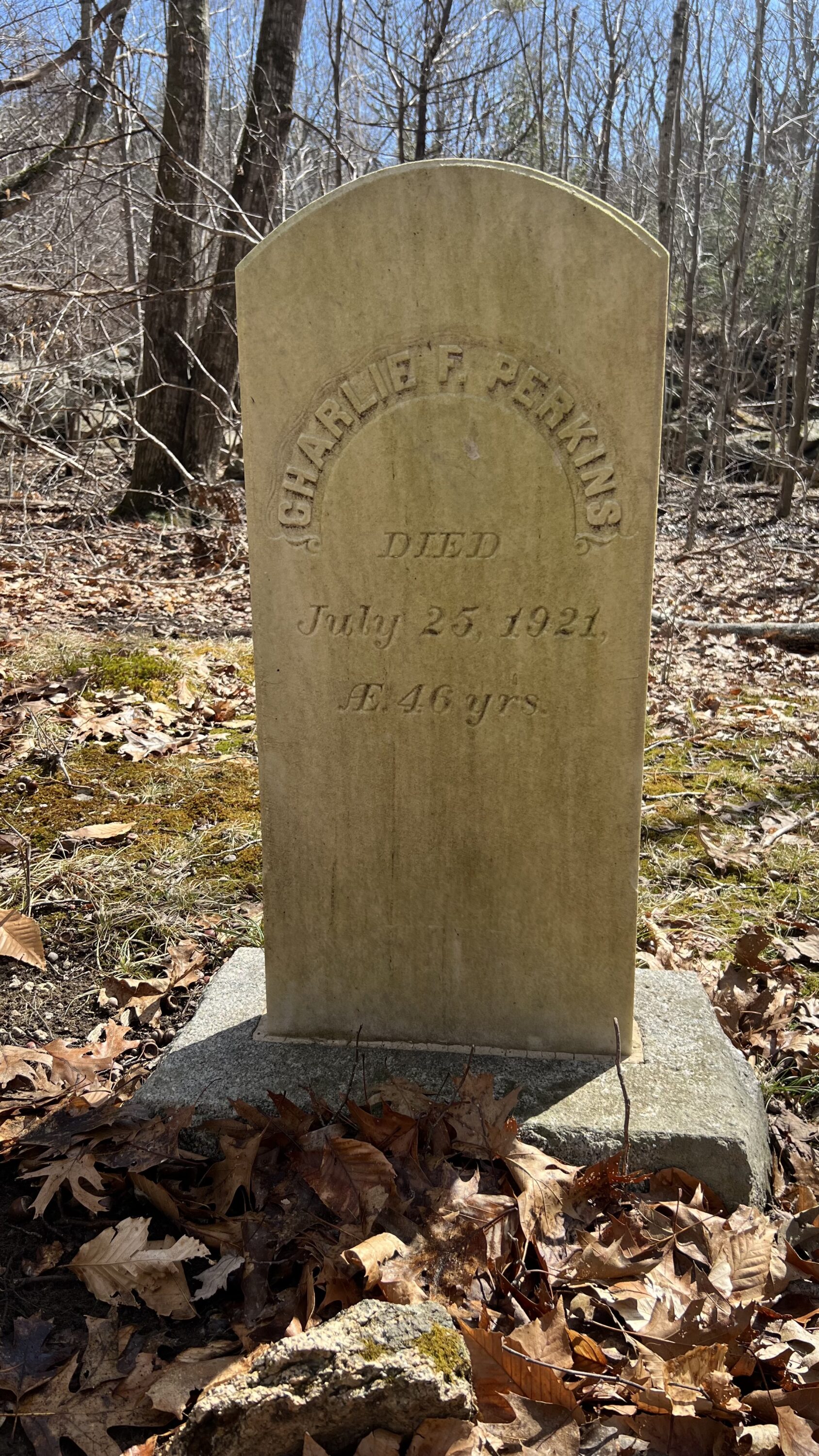
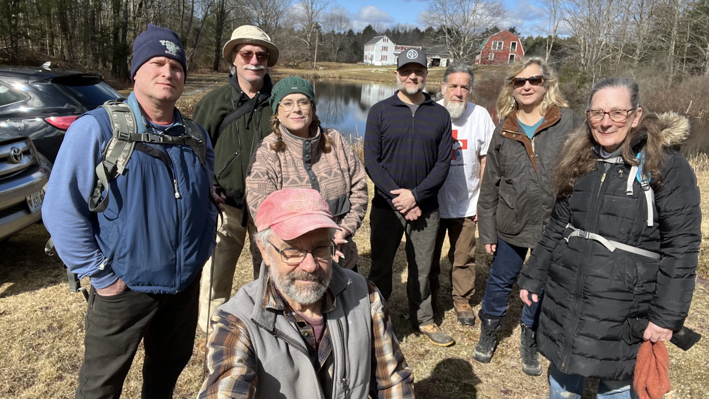
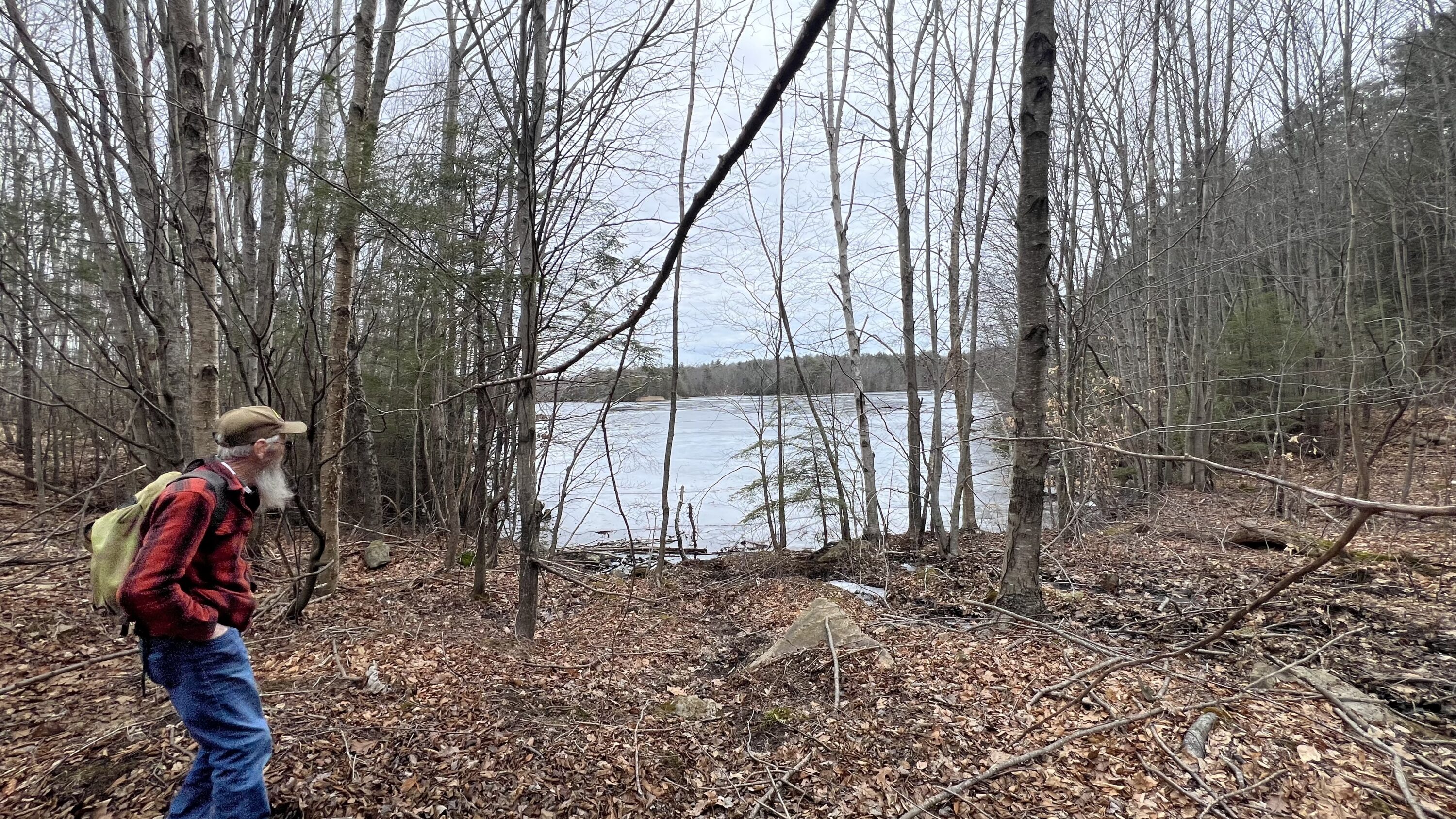
This event happened on November 16, 2024. We are sharing a few photos of the day. Also, I was asked by a few persons of where they could find my remarks at the events. I am sharing them below. Your thoughts and comments are welcome.
If you have photos or comments about this event you can email kevin@yorkmainehistory.org


Good Morning Everyone!
I am Kevin Freeman
It is wonderful to see you all. Welcome
[ I acknowledge that I am on the land of Wabanaki People and I am an advocate of LAND BACK ]
[ I would like to thank York History Partners and Atlantic Black Box for co-creating this event and inviting us all here today. ]
I have had the benefit to live in York my entire life. As you have likely noticed, York is not only a beautiful coastal community, it also has a very rich history. For a good portion of my life much of this history remained hidden away in books. Eventually, a few of these books about York History found me and I became compelled to find out more, and more. At first, I knew only a few people to exchange my new found knowledge with. And miraculously, now, there are many of us. York History has become a sort of wanderlust, taking me back in time, challenging what I think I know—all the while, cultivating a stronger community of like minded people. Many of whom have become dear friends.
As we look at our descedents and human history on this planet, we are quick to see how turbulent our human family has been and is. It is also amazing just how many ancestors each of us has. The number of ancestors we have doubles with each generation, so estimate the number of ancestors you have using the formula 2n=x, where n is the number of generations back and x is the number of ancestors in that generation. For example, if you go back 10 generations, you could have around 4,096 ancestors. And each generation being 25 years, this all happened in the last 350 years! Pretty much since Colonialism. Of course this all depends on how many of your cousins married your cousins.
History is often explained in terms of war, conquest, genocide, religion and other atrocities associated with taking something that is not our own. This is where I find myself today. Here I am, in this beautiful town in which I live, the State in which I reside and the country of my citizenship, all culpable of stealing the resources and depriving sovereignty from those of whom we assert entitlement over. In the 17th century, during the first waves of immigration the English felt fully entitled to come here and settle. They overwhelmed and displaced many Indigenous People. To the North, the French were doing the similar, though with different objectives. The pressure for survival was on.
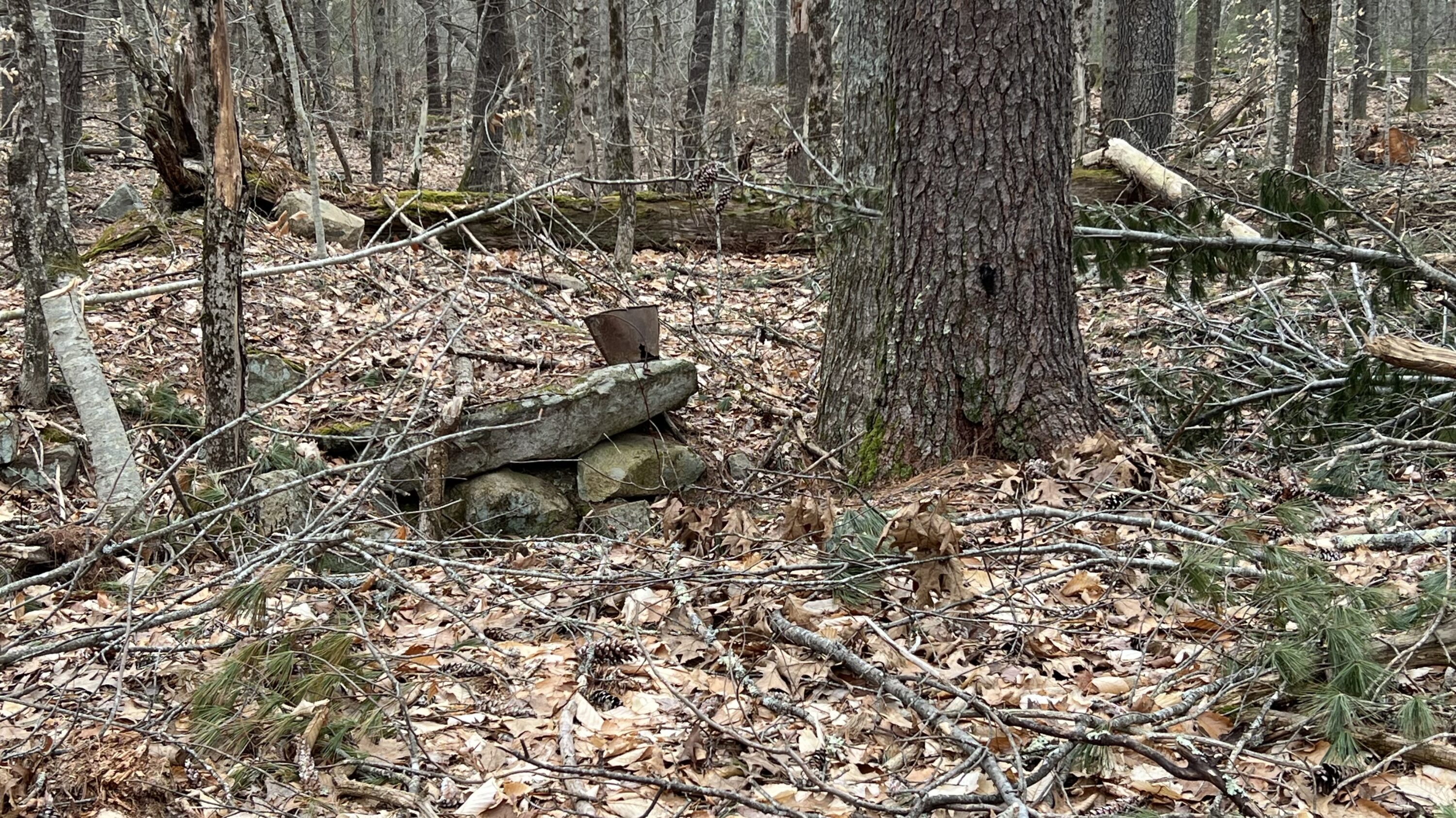
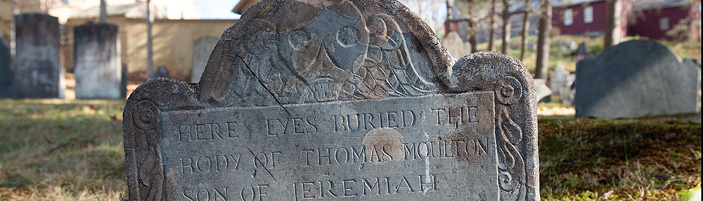
This is where my story for today begins. Several years ago as I was working on my family genealogy I made a discovery that started a process of deep reflection. I do feel awkward singling out one person in my family tree that I never met or spoke with but I do believe he is worthy of mention now. I would like to recite the names of my ancestors leading back to this discovery beginning with myself; Kevin Freeman, next my father Haven Freeman, his father George Freeman, his father, John Freeman, his mother Lucy Maria Moulton, her father William Donnell Moulton, his father Theodore Moulton, Daniel Moulton, and Daniel’s father, Jeremiah Moulton. If you lost count, that was 9 generations. Jeremiah Moulton is our person of interest. Jeremiah is buried in the old burying ground across the street. Our walk will lead us in view of his headstone.
At the time of the aforementioned discovery, I had known enough about York History to understand that Jeremiah Moulton was a victim of the Candlemas Massacre—that I now refer to as the 1692 killing in York. This was a dramatic event, that some call a raid, perpetrated by the French and Wabanaki that ultimately resulted in the death of about 40 town’s people and an abduction for ransom of about 80 townspeople. Those kidnapped were forced to walk to Canada or perish on the way. Young Jeremiah was 4 years old and witnessed his parents and siblings being slain in his home. He was reported to be released by his captors, alone into the January snow.
Jeremiah survived and prospered in York. He fulfilled many roles including town clerk, judge and sheriff. He raised a family and contributed to an extensive progeny. As Jeremiah’s civic abilities elevated, so did his military rank. In 1724, along with three other Captains from York, Captain Moulton and about 200 soldiers embarked on a mission from York to Norridgewock, now in Maddison, Maine. With about fifty of these soldiers, Captain Moulton, on a sleepy summer afternoon led the surprise charge into the village where they promptly murdered about 80 Wabanaki people including women and children. Father Ralle, a Jesuit Priest, thought to be a religious guide to the Norridgewock People, was also murdered. Accounts vary but the details of this offensive are grim. Scalps of the Norridgewock people were taken to Boston in exchange for silver. After the massacre the Norridgewock people tried to recover and hold onto their village but eventually abandoned their home. Many joined the Penobscot Nation or ventured further to Quebec. Not unlike our Veterans today, the York soldiers were honored by their town’s people for their courage and “success.” The Norridgewock Massacre was a definitive attack leaving areas south of the Kennebec much less prone to Native resistance and York was now quite assured of a peaceful future.
Over the years, since I became aware of this massacre, I have become increasingly frustrated and reactive. I cannot understand how my ancestors could contemplate, plan and carry out such atrocities against fellow humans. I have studied the issue of colonization and the egregious impact it has had on Wabanaki people. I am ashamed of my own roll in the ongoing story of colonialism. And how can it be possible that I am the beneficiary of a homeland that was taken from those who have been here for thousands of years? It is not possible to separate myself from a system that subjugates those unlike me. Jeremiah Moulton, my sixth great grandfather, through unconscionable acts against the Norridgewock People insured that his descendants, including myself could live and prosper here in York, free from the horrors he experienced as a child. I stand here as victim of my own dismay.
I wish to erase the effects of colonialism and create a system of equality and dignity, a system that celebrates the rise of all individuals and all cultures. I imagine returning land that has been taken to its rightful owners the Wabanaki People and return Wabanaki sovereignty according to their own ideology and choice.
I have a short list of questions:
Why are Wabanaki People not Sovereign as people descended from Colonists are?
Why do Wabanaki People not have voting privileges in the Maine Legislature as my own representative does? (Perhaps this would imply submitting to colonialism)
Why has land taken from the Wabanaki People not been returned?
The answers to these questions are beyond me. There is so much that I do not know. But I do know there is much wrong here, with the way we are keeping house in Maine. It is fundamentally wrong. I struggle for resolve, for amends and hope for closure. Although my struggle is within me, I know I am not alone. I have come here today to cultivate a better understanding of how to become my version of a better person by sharing, listening and participating. I am very much looking forward to working with you all on a path forward to achieve more love, more understanding, more appreciation and kindness toward each other and may we always be worthy stewards our beautiful planet.
I will leave you with the last words of Representative John Lewis, “…So I say to you, walk with the wind brothers and sisters, and let the spirit of peace and the power of everlasting love be your guide.”
THANK YOU ALL SO MUCH
Kevin Freeman
November 2024